20.6 Edit GPS View Direction and Altitude
Some cameras like the iPhone can record the view direction in which a photo was taken. NeoFinder shows that information on the Map, with the Geotag itself.
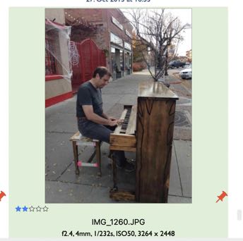
The little grey arrow in the red Pin points to the left, which is the direction in which the camera was pointing when the photo was taken.
NeoFinder 8 now offers an editor for that value, so you can edit it, and add it to GPS GeoTags that don't yet contain this.
Select any photo(s) with an existing GPS GeoTag, and use either the Inspector Label Menu, or the context menu, or the Item menu in the main menu bar of NeoFinder.
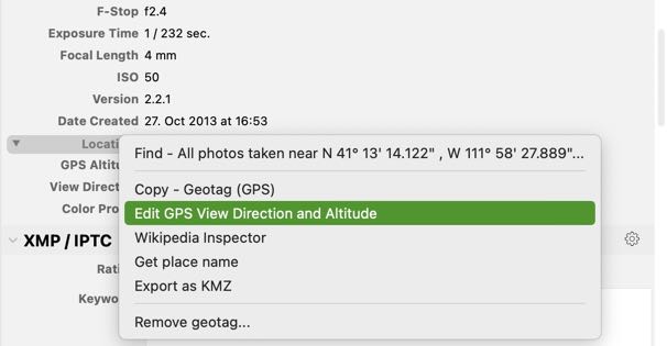
NeoFinder will open the view direction editor window for you.
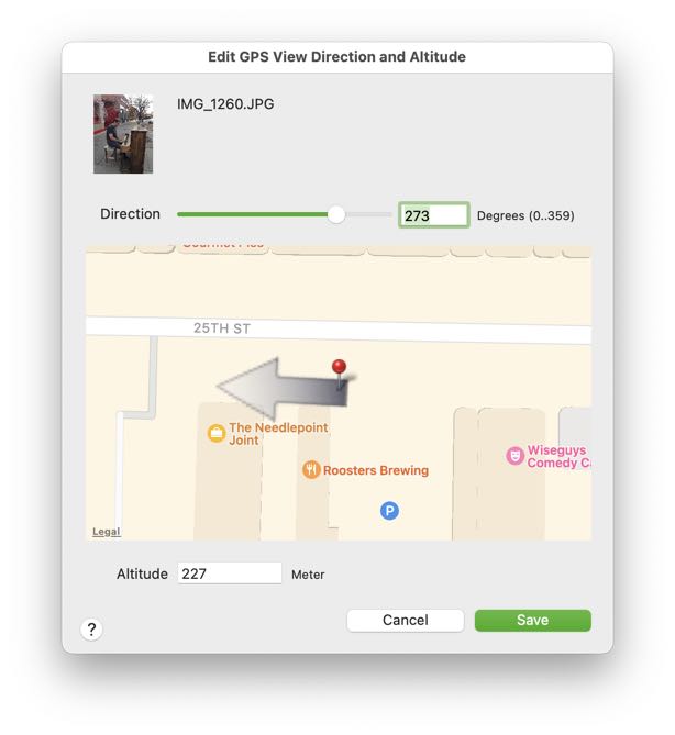
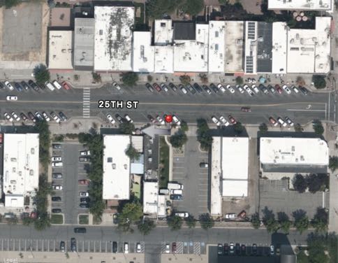
This editor now contains the actual map of the GPS GeoTag location, plus the arrow pointing in the view direction.
Just drag the slider into the proper value, so that the grey direction arrow in the map points into the correct direction. That is all!
You can also enter the view direction degrees value numerically, if you wish to do that.
Below the map, you can enter the desired numerical GPS Altitude value.
Please note that the GPS Altitude value is always expressed in the full metrical Meters.
20.1 The Map and GeoFinder
20.2 Add geotags to photos
20.3 The Wikipedia Inspector